


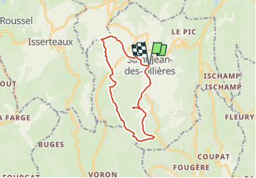


12.2 km | 16.8 km-effort

User GUIDE


FREE GPS app for hiking
 SityTrail
IGN / Geographical institutes
SityTrail World
The world is yours!
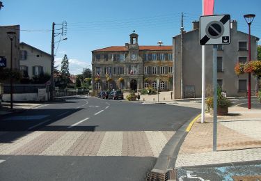
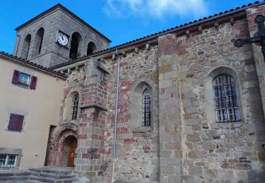
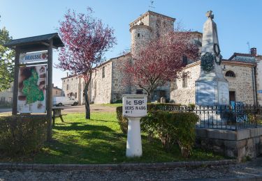
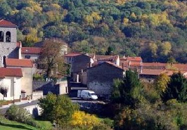
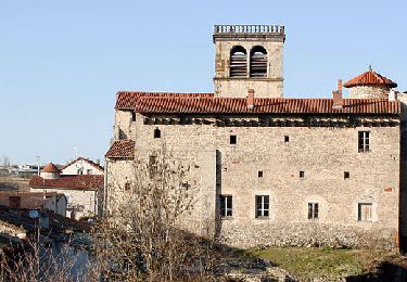
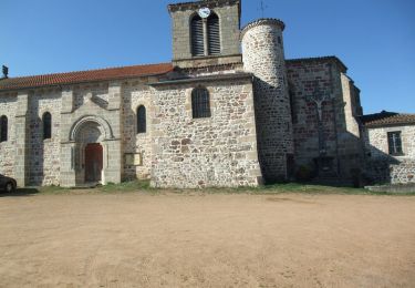
Trail Walking of 12.3 km to be discovered at Auvergne-Rhône-Alpes, Puy-de-Dôme, Saint-Jean-des-Ollières. This trail is proposed by jagarnier.
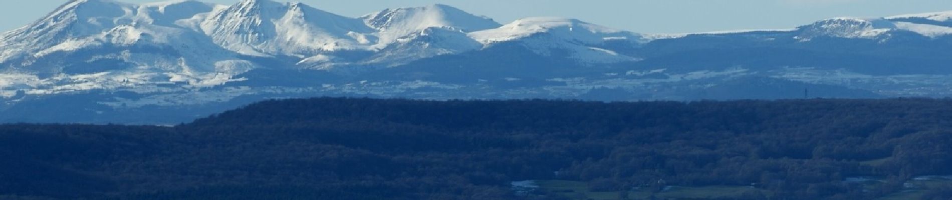
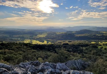
Du sommet du Pic de la Garde vous aurez un panorama à couper le souffle sur les volcans et le plus emblématique de tous : le puy de Dôme.
Cette randonnée vous offre aussi un point de vue sur la Comté, site classé Natura 2000 pour son intérêt écologique, faunistique et floristique. Ce massif forestier est l’un des plus riches d’Auvergne.

![Trail On foot Saint-Jean-des-Ollières - [Itinéraire] Le pic de la Garde - Photo](https://media.geolcdn.com/t/375/260/ext.jpg?maxdim=2&url=https%3A%2F%2Fstatic1.geolcdn.com%2Fsiteimages%2Fupload%2Ffiles%2F1545311037marcheuse_200dpi.jpg)
On foot
On foot
On foot
On foot
Walking
Walking
Walking
Walking
Walking