


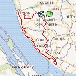

14.1 km | 16.8 km-effort


User


FREE GPS app for hiking
 SityTrail
IGN / Geographical institutes
SityTrail World
The world is yours!
Trail Walking of 19.4 km to be discovered at New Aquitaine, Gironde, Saint-Ciers-de-Canesse. This trail is proposed by JACQUOU.
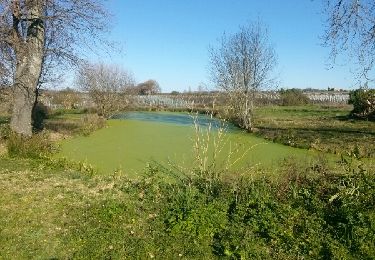
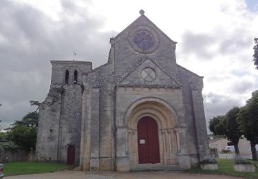
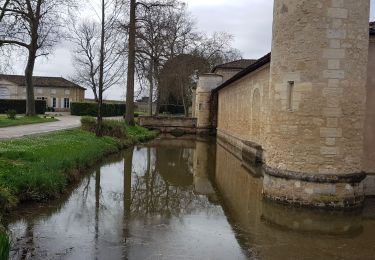
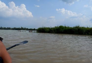
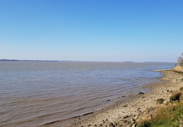
Départ de St Ciers de Canesse en passant par la Roque de Thau, l'escalier des troglodytes, le bord de l'estuaire, le château Eyquen avec la vue surl le Bec d'Ambés et retour.
Walking
On foot

Walking
Walking

Walking
Other activity

Walking
Walking
Road bike