


10.5 km | 19.6 km-effort


User


FREE GPS app for hiking
 SityTrail
IGN / Geographical institutes
SityTrail World
The world is yours!
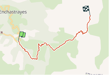
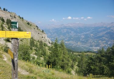
Trail Walking of 6.7 km to be discovered at Provence-Alpes-Côte d'Azur, Alpes-de-Haute-Provence, Enchastrayes. This trail is proposed by ytenag.


Walking
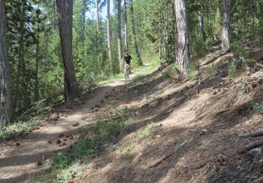
Mountain bike
Walking

Walking
Walking
Walking
Walking
Walking
Walking
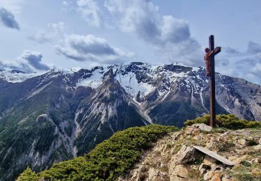
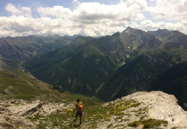
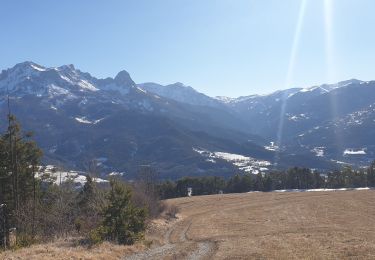
Belle vue sur toute la vallée une fois en haut et sur le vallon de terres-pleines, mais la première partie jusqu'à la bergerie se fait sur les pistes de ski. Pas vraiment de sensation haute montagne.