


Vimoutier

Eve - Line
User
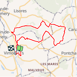

Length
17.6 km

Max alt
219 m

Uphill gradient
216 m
Km-Effort
20 km

Min alt
99 m

Downhill gradient
217 m
Boucle
Yes
Creation date :
2019-10-06 06:11:50.97
Updated on :
2019-10-06 09:27:07.143
3h13
Difficulty : Medium

FREE GPS app for hiking
 SityTrail
IGN / Geographical institutes
SityTrail Plus
The world is yours!
About
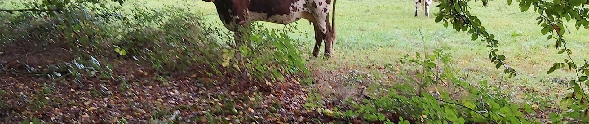
Trail Walking of 17.6 km to be discovered at Normandy, Orne, Vimoutiers. This trail is proposed by Eve - Line.
Photos


Positioning
Country:
France
Region :
Normandy
Department/Province :
Orne
Municipality :
Vimoutiers
Location:
Unknown
Start:(Dec)
Start:(UTM)
294891 ; 5423260 (31U) N.
Comments