


11.3 km | 13.2 km-effort
Orne: Discover the best trails: 1,753 hiking trails, 264 bike and mountain-bike routes and 18 equestrian circuits. All these trails, routes and outdoor activities are available in our SityTrail applications for smartphones and tablets.

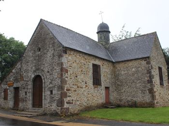
Walking


Walking
Walking
Walking
Walking
Walking
• Belle ballade.

Walking
Walking

Mountain bike
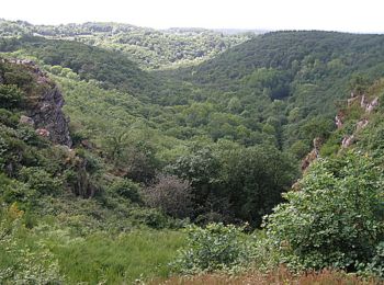
Walking
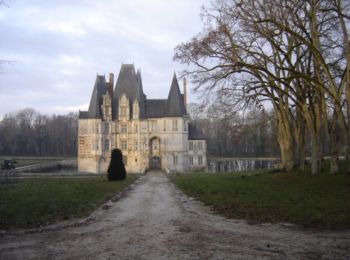
Walking
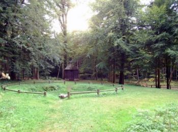
Walking

Mountain bike
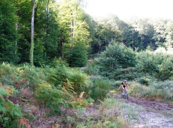
Mountain bike

On foot
• Website: http://randomontdesavaloirs.free.fr/
On foot
• Website: http://randomontdesavaloirs.free.fr/

Mountain bike
• Magnifique parcours super.

Walking
Walking
• Trés beau circuit dans le Perche
Walking
20 trails displayed on 2098
FREE GPS app for hiking
 SityTrail
IGN / Geographical institutes
SityTrail World
The world is yours!