


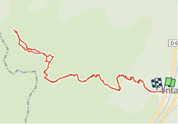

11.1 km | 23 km-effort


User


FREE GPS app for hiking
 SityTrail
IGN / Geographical institutes
SityTrail World
The world is yours!
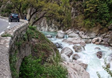
Trail Walking of 8.2 km to be discovered at Provence-Alpes-Côte d'Azur, Maritime Alps, Fontan. This trail is proposed by aris.
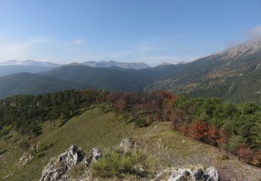
Petite rando d'hiver tranquille en alpage. Aucune difficulté, accès hors sentier facile au sommet.
On foot
On foot
On foot
On foot

On foot
Walking
Walking
Walking

Walking