


Massul - Lahérie

polin
User
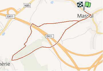

Length
4.8 km

Max alt
490 m

Uphill gradient
85 m
Km-Effort
5.9 km

Min alt
429 m

Downhill gradient
85 m
Boucle
Yes
Creation date :
2020-03-04 07:52:24.389
Updated on :
2020-03-07 10:13:39.706
1h21
Difficulty : Easy

FREE GPS app for hiking
 SityTrail
IGN / Geographical institutes
SityTrail Plus
The world is yours!
About
Trail Walking of 4.8 km to be discovered at Wallonia, Luxembourg, Neufchâteau. This trail is proposed by polin.
Description
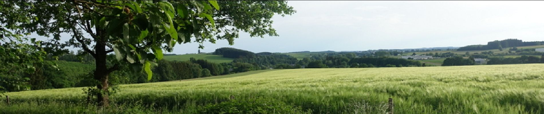
Départ de la chapelle de Massul, descente vers Lahérie par le chemin qui longe la rivière, retour par le côté de Motechet.
Photos


Positioning
Country:
Belgium
Region :
Wallonia
Department/Province :
Luxembourg
Municipality :
Neufchâteau
Location:
Longlier
Start:(Dec)
Start:(UTM)
680157 ; 5527770 (31U) N.
Comments