


BBBBBC-17 16:44:21

UDGI54
User

Length
26 km

Max alt
320 m

Uphill gradient
508 m
Km-Effort
33 km

Min alt
166 m

Downhill gradient
506 m
Boucle
Yes
Creation date :
2020-03-24 22:42:22.937
Updated on :
2020-03-24 22:50:08.12

FREE GPS app for hiking
 SityTrail
IGN / Geographical institutes
SityTrail Plus
The world is yours!
About
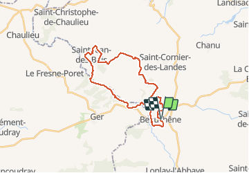
Trail of 26 km to be discovered at Normandy, Orne, Tinchebray-Bocage. This trail is proposed by UDGI54.
Positioning
Country:
France
Region :
Normandy
Department/Province :
Orne
Municipality :
Tinchebray-Bocage
Location:
Beauchêne
Start:(Dec)
Start:(UTM)
667554 ; 5394330 (30U) N.
Comments