


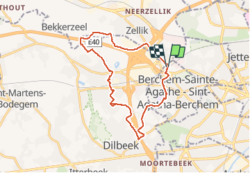

12.8 km | 15.1 km-effort

User GUIDE


FREE GPS app for hiking
 SityTrail
IGN / Geographical institutes
SityTrail World
The world is yours!
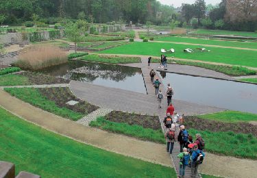
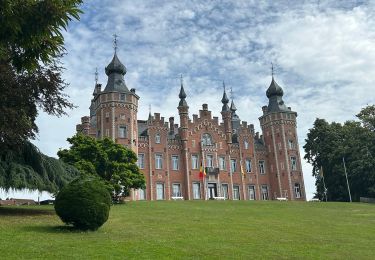
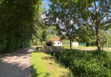
Trail Walking of 14.2 km to be discovered at Brussels-Capital, Unknown, Berchem-Sainte-Agathe - Sint-Agatha-Berchem. This trail is proposed by rvapeldo.
Tour fait le matin tôt, pour ne rencontrer personne, ou presque. Version allongée du tour de l’échangeur de la mer, sur le Ring.


Walking
Walking

Walking

Walking
Walking

Walking
Walking
Walking
Walking