


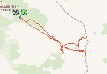

4.2 km | 7.1 km-effort

User


FREE GPS app for hiking
 SityTrail
IGN / Geographical institutes
SityTrail World
The world is yours!
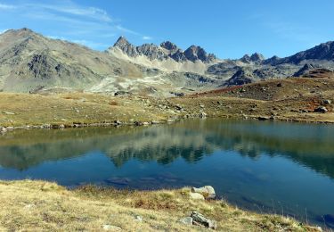
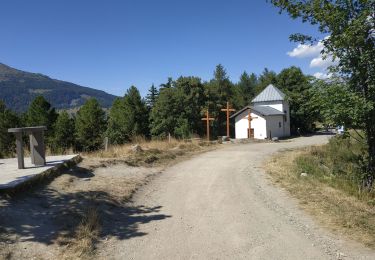
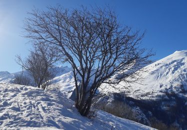
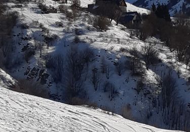
Trail Touring skiing of 12 km to be discovered at Auvergne-Rhône-Alpes, Savoy, Valmeinier. This trail is proposed by nadd73.
départ Valmenier vers le télésiège des Inverses. Nous n'avons pas pu faire le petit Fourchon car pas de neige à gauche et l'arête trop sèche.


Walking
Snowshoes
Walking
Walking
Walking
Walking

Walking
Walking
Walking