


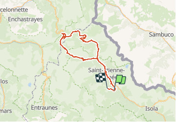

19.5 km | 40 km-effort


User


FREE GPS app for hiking
 SityTrail
IGN / Geographical institutes
SityTrail World
The world is yours!
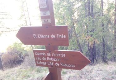
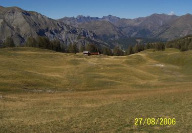
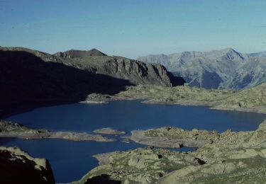
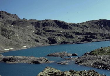
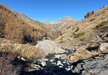
Trail Electric bike of 62 km to be discovered at Provence-Alpes-Côte d'Azur, Maritime Alps, Saint-Étienne-de-Tinée. This trail is proposed by franquen.
boucle en partant d'Auron par St Dalmas de Selvage, le col de Moutiere, le col de Restefond puis col de la Bonette
Walking

Walking
On foot
On foot
On foot
On foot
On foot
Snowshoes
Walking