


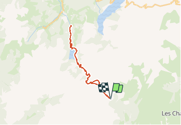

8.4 km | 11.7 km-effort


User


FREE GPS app for hiking
 SityTrail
IGN / Geographical institutes
SityTrail World
The world is yours!
Trail Electric bike of 32 km to be discovered at Auvergne-Rhône-Alpes, Savoy, Aime-la-Plagne. This trail is proposed by franquen.
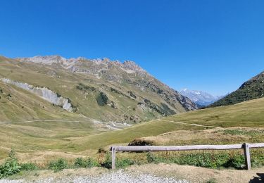
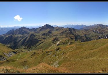
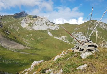
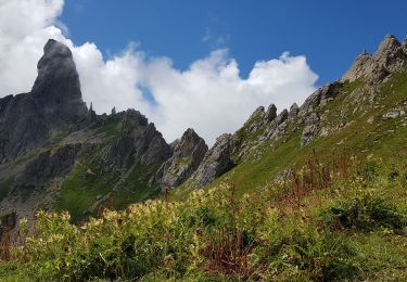
En partant de Laval, très belle piste menant au refuge de la Coire. magnifiques points de vue de part et d'autre du Cormet d'Arêches dont le lac de St Guerin côté beaufortin.

Walking

Walking
Walking

Snowshoes
Walking
Walking
Walking
Walking
Walking