


de hameau en hameau

lepompi
User
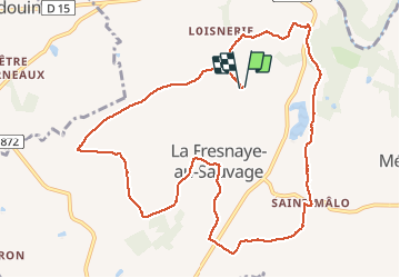

Length
11.5 km

Max alt
245 m

Uphill gradient
168 m
Km-Effort
13.7 km

Min alt
154 m

Downhill gradient
167 m
Boucle
Yes
Creation date :
2020-08-31 07:37:57.048
Updated on :
2020-08-31 10:24:17.549
2h44
Difficulty : Easy

FREE GPS app for hiking
 SityTrail
IGN / Geographical institutes
SityTrail Plus
The world is yours!
About
Trail Walking of 11.5 km to be discovered at Normandy, Orne, Putanges-le-Lac. This trail is proposed by lepompi.
Description
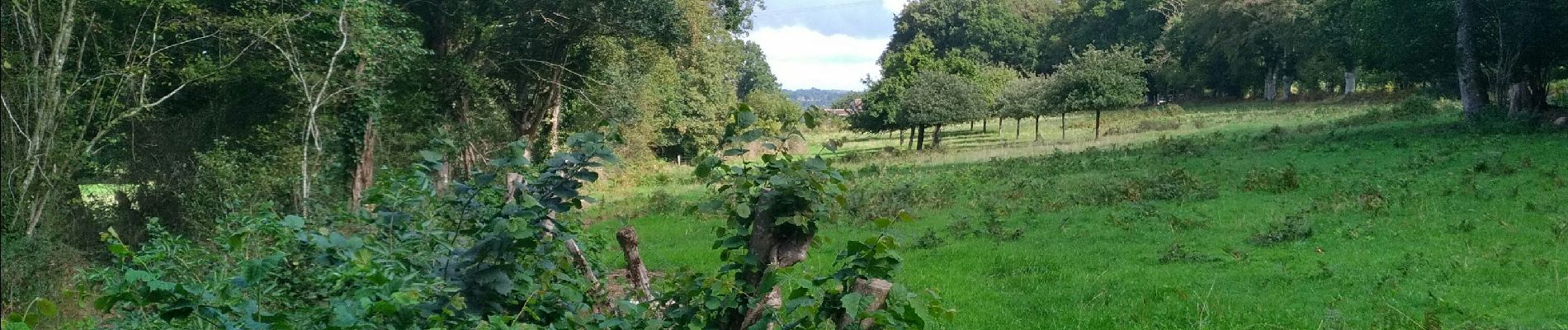
sympa .quelques tronçons de route
Photos

Positioning
Country:
France
Region :
Normandy
Department/Province :
Orne
Municipality :
Putanges-le-Lac
Location:
La Fresnaye-au-Sauvage
Start:(Dec)
Start:(UTM)
702068 ; 5402939 (30U) N.
Comments