


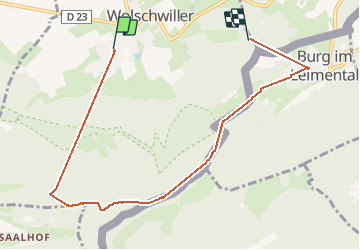

8.2 km | 11.4 km-effort

User


FREE GPS app for hiking
 SityTrail
IGN / Geographical institutes
SityTrail World
The world is yours!
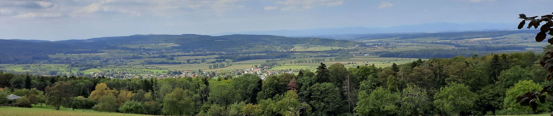
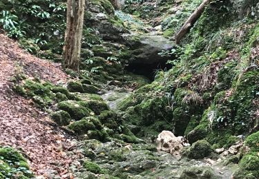
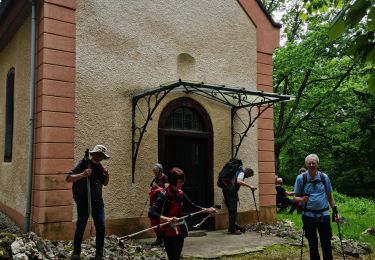
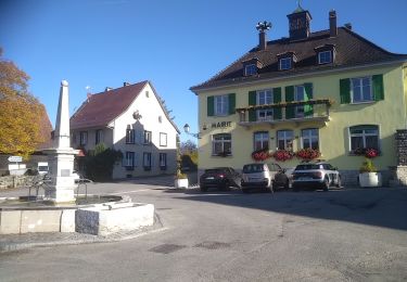
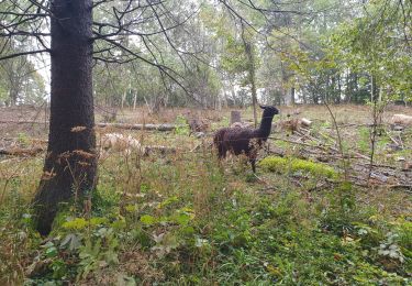
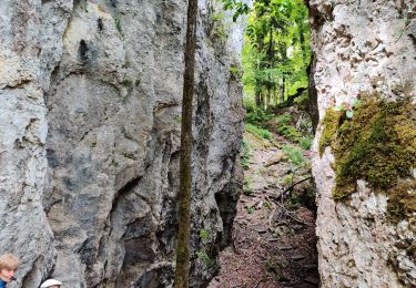
Trail Walking of 7.3 km to be discovered at Grand Est, Haut-Rhin, Wolschwiller. This trail is proposed by jcguew.
belle balade avec un passage en Suisse (Burg)


Walking
Walking

Walking
Walking
Walking

Equestrian
Walking

Horseback riding
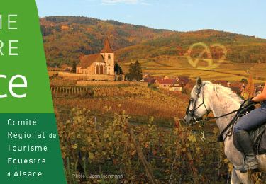
Horseback riding