


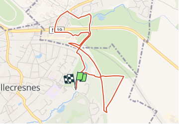


16.8 km | 18.6 km-effort


Club randonnées SERVON


FREE GPS app for hiking
 SityTrail
IGN / Geographical institutes
SityTrail World
The world is yours!
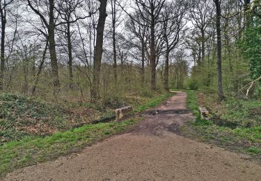
Trail On foot of 5 km to be discovered at Ile-de-France, Val-de-Marne, Villecresnes. This trail is proposed by Les 1000 pattes.
Parking Rue du Réveillon à Villecresnes près du Réveillon
5 km boucle golf villecresnes et ancienne voie de chemin de fer
Trajet Servon-->Villecresnes (5,5km:8mn)
Walking

Walking

Walking
On foot

On foot

Walking

Walking
Walking

On foot