


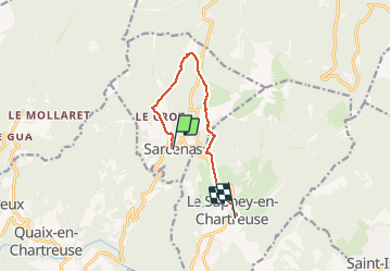

10.9 km | 26 km-effort

User


FREE GPS app for hiking
 SityTrail
IGN / Geographical institutes
SityTrail World
The world is yours!
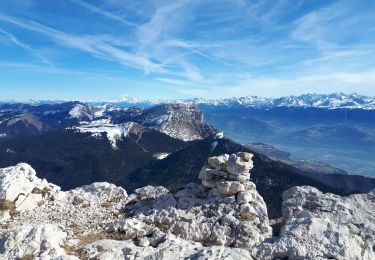
Trail Walking of 8.5 km to be discovered at Auvergne-Rhône-Alpes, Isère, Sarcenas. This trail is proposed by floup6138.
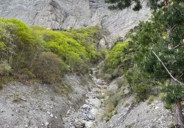
circuit ouvert assez bien balise. pas de difficulté majeure. descente pouvant être glissante par temps de pluie.


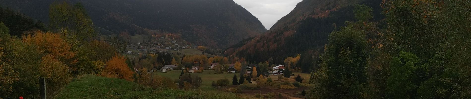
Walking

Walking

Walking

Walking
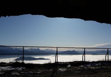
Touring skiing
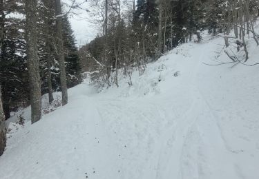
Walking
Walking
Walking
Walking