


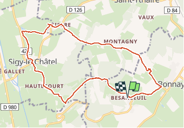

12.3 km | 17.2 km-effort


User


FREE GPS app for hiking
 SityTrail
IGN / Geographical institutes
SityTrail World
The world is yours!
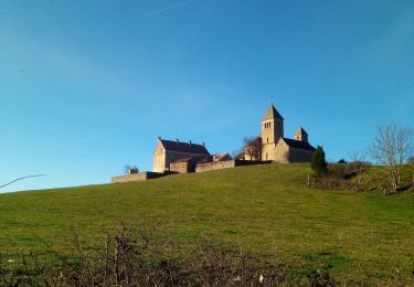
Trail Mountain bike of 11.2 km to be discovered at Bourgogne-Franche-Comté, Saône-et-Loire, Bonnay. This trail is proposed by darrisa.
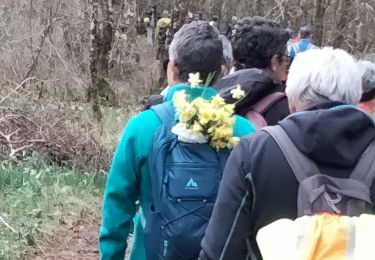
rando à travers bois champs et pierres du passé. niveau moyen en denivellé
Walking

Walking
Walking
Walking
Walking
Walking
Walking
Walking
Walking
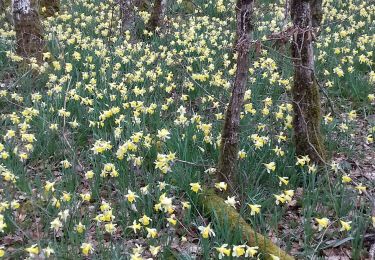
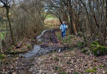
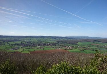
ballade tres agréable. Dénivellés abordables