


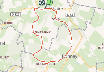

12.3 km | 17.2 km-effort

User


FREE GPS app for hiking
 SityTrail
IGN / Geographical institutes
SityTrail World
The world is yours!
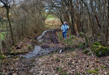
Trail Walking of 8.4 km to be discovered at Bourgogne-Franche-Comté, Saône-et-Loire, Saint-Ythaire. This trail is proposed by margotjl.
Très jolie rando qui vous permettra de découvrir de magnifiques villages tout particulièrement Besanceuil


Walking

Walking
Walking

Mountain bike
Walking
Walking
Walking
Walking

Walking