


24 km | 34 km-effort

User GUIDE


FREE GPS app for hiking
 SityTrail
IGN / Geographical institutes
SityTrail World
The world is yours!
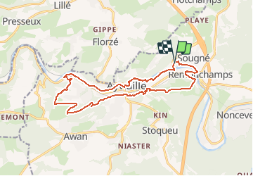
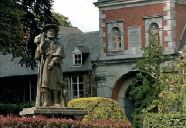
Trail Walking of 15.7 km to be discovered at Wallonia, Liège, Aywaille. This trail is proposed by mumu.larandonneuse.
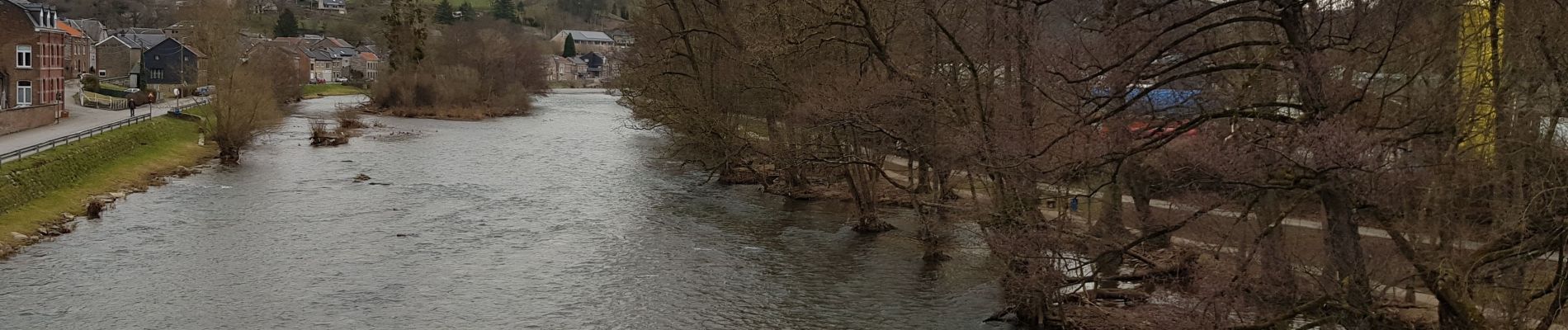
Superbe parcours, le long de l'Amblève, quelques grimpettes sur les versants boisés, de splendides vues, des panoramas à 360°, ...
📌 Square Philippe Gilbert 17 à Remouchamps.
ℹ www.wandelgidszuidlimburg.com n° 1382


Walking

Walking

Walking

Walking

Walking

Walking
Walking
Walking
Walking
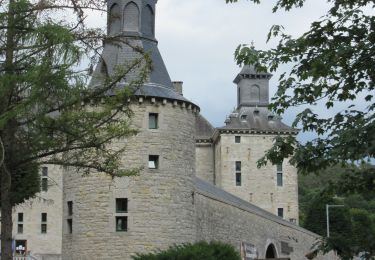
Magnifique