


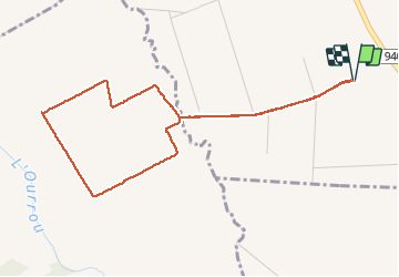

5 km | 5.7 km-effort

User GUIDE


FREE GPS app for hiking
 SityTrail
IGN / Geographical institutes
SityTrail World
The world is yours!
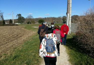
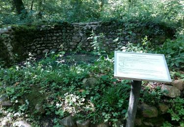
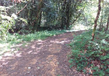
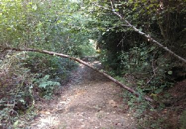
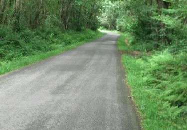
Trail Walking of 5.1 km to be discovered at New Aquitaine, Pyrénées-Atlantiques, Barzun. This trail is proposed by marmotte65.
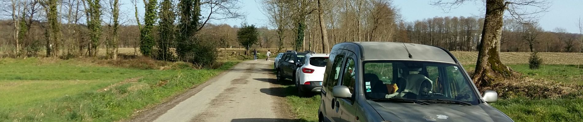
Parking face au silo 400m apres avoir quitté la route .Boucle de 5 km a plat et dans les mais a la saison une vrai rando santé


Walking
On foot
Walking
Nordic walking

Walking
Walking
Cycle
Walking
Walking