


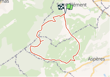


10.7 km | 12.7 km-effort


User


FREE GPS app for hiking
 SityTrail
IGN / Geographical institutes
SityTrail World
The world is yours!
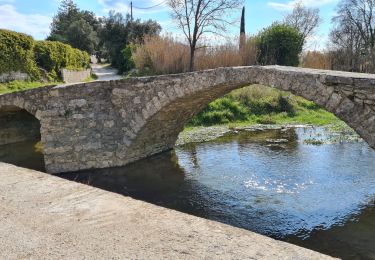
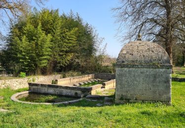
Trail Walking of 8.2 km to be discovered at Occitania, Gard, Saint-Clément. This trail is proposed by f4tnk.
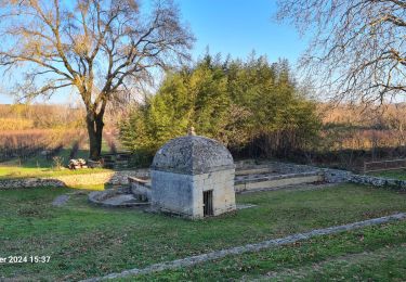
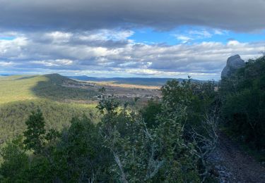
Cette ballade au départ de Saint Clément, vous fera découvrir, un paysage magnifique, une grotte (penser à prendre une lampe), une table d'orientation, ainsi qu'un oppidum.

Walking

Walking
Walking

Walking
Walking

Walking
Walking
Walking