


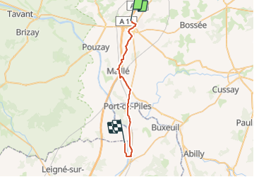


24 km | 27 km-effort

User


FREE GPS app for hiking
 SityTrail
IGN / Geographical institutes
SityTrail World
The world is yours!
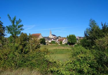
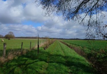
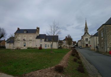
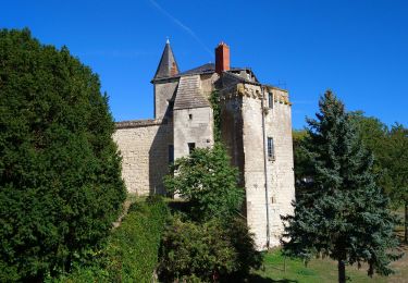
Trail Walking of 29 km to be discovered at Centre-Loire Valley, Indre-et-Loire, Sainte-Maure-de-Touraine. This trail is proposed by jeff2.
St Maure Dange St Romain


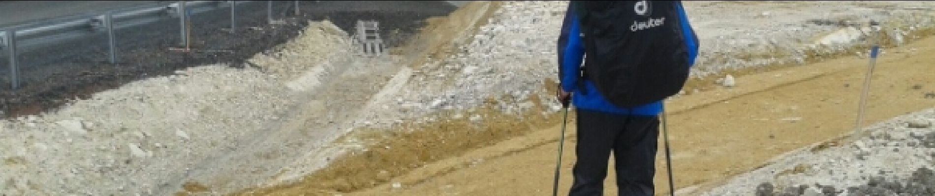
Walking
Walking
Walking
Walking
Mountain bike

Mountain bike

Walking
Electric bike
Mountain bike