


16.6 km | 18.2 km-effort

User


FREE GPS app for hiking
 SityTrail
IGN / Geographical institutes
SityTrail World
The world is yours!
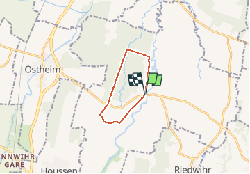
Trail Walking of 7.4 km to be discovered at Grand Est, Haut-Rhin, Colmar. This trail is proposed by zazie.
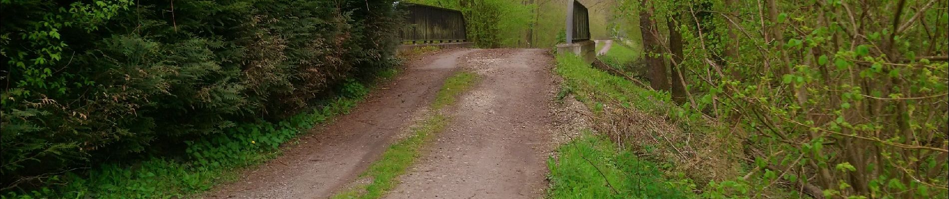
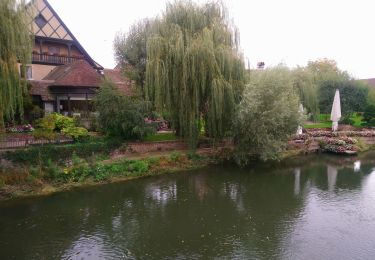
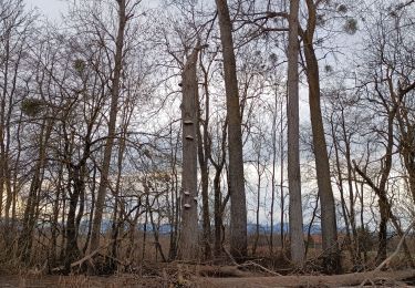
Randonnée en plaine alluviale et dans la forêt communale de Colmar


Walking
Walking

Walking
Walking
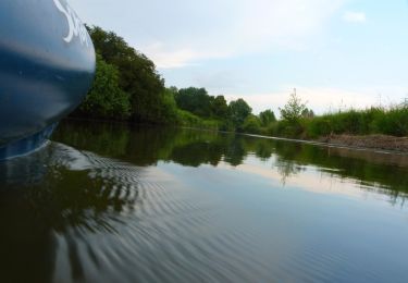
Canoe - kayak

Walking

Equestrian