


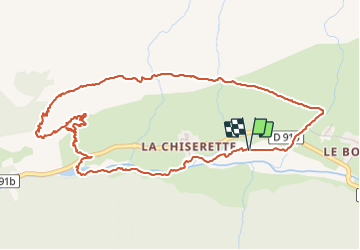

24 km | 44 km-effort

User


FREE GPS app for hiking
 SityTrail
IGN / Geographical institutes
SityTrail World
The world is yours!
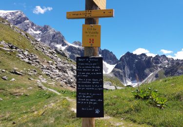
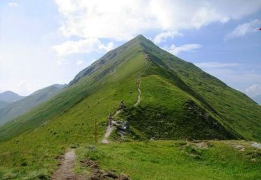
Trail Via ferrata of 6.4 km to be discovered at Auvergne-Rhône-Alpes, Savoy, Champagny-en-Vanoise. This trail is proposed by djrem971.
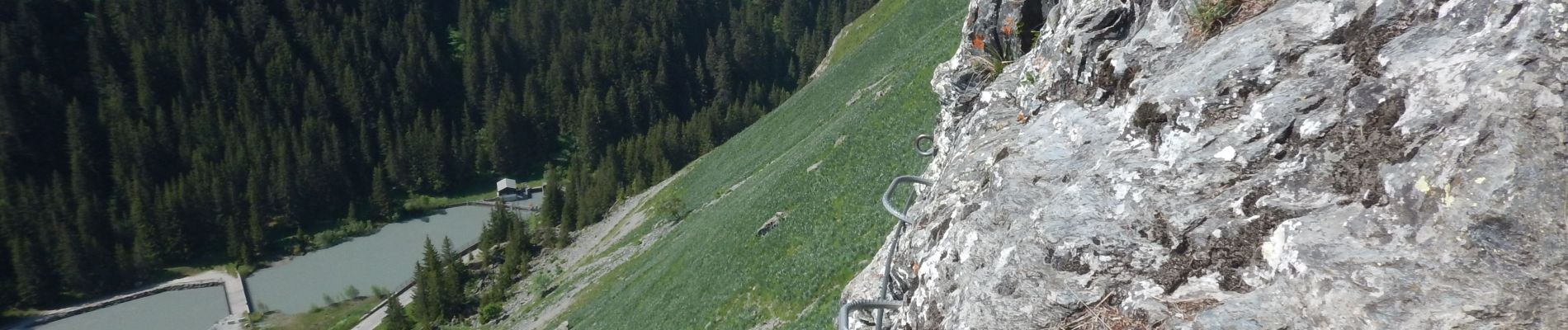
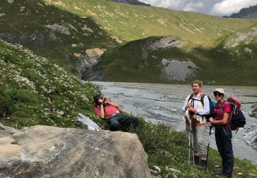
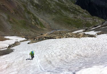
Cette via ferrata ne présente strictement aucune difficulté, seules les marches d'approche et de retour peuvent paraître assez longues.
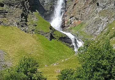
Très belle vue, le passage de l'unique échelle du parcours est une bonne initiation à ce type d'accessoire dans les via.


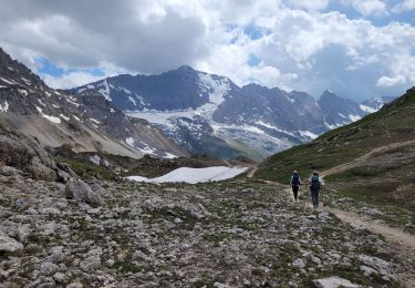
Walking
Walking

Walking
Walking

Walking
Walking
Walking
Walking
Mountain bike