


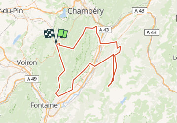


11.1 km | 17.4 km-effort


User


FREE GPS app for hiking
 SityTrail
IGN / Geographical institutes
SityTrail World
The world is yours!
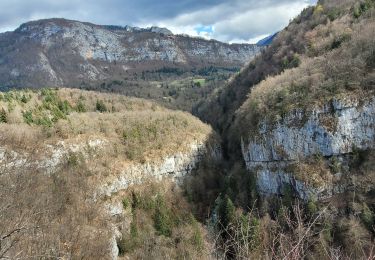
Trail Motor of 138 km to be discovered at Auvergne-Rhône-Alpes, Isère, Entre-deux-Guiers. This trail is proposed by gpstracks.
More information on GPStracks.nl : http://www.gpstracks.nl

Snowshoes

Walking

Walking

sport
Walking
Walking
Walking
Walking
Walking