


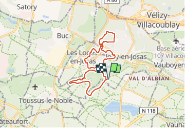

11.2 km | 14.5 km-effort

User


FREE GPS app for hiking
 SityTrail
IGN / Geographical institutes
SityTrail World
The world is yours!
Trail Walking of 15.5 km to be discovered at Ile-de-France, Yvelines, Jouy-en-Josas. This trail is proposed by Fuligule.
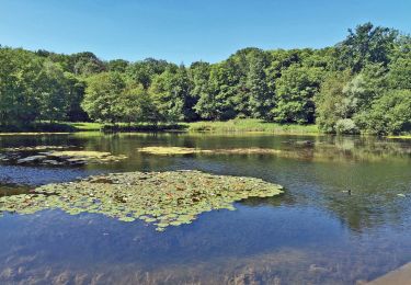
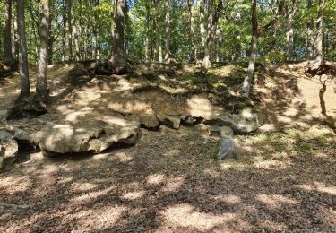
Randonnée en paysages variés, vallées et plateaux, forêts et champs, fermes et villages.
Environ 16 km, D.P. 300 m
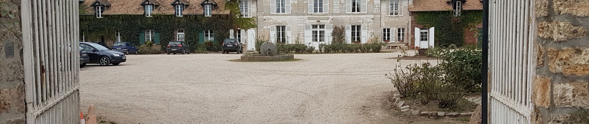
Départ Ferme de Viltain
- golf de Saint-Marc
- Jouy-en-Josas
- parc de la vallée de la Bièvre
- château de l'Eglantine (musée de la Toile de Jouy)
- forêt de Versailles
- plateau des Loges en Josas
- château des Côtes
- parc des Côtes de Montbron (réserve naturelle)
- fermes du Petit et du Grand Viltain
Extensions :
- plateau de Saclay
- ferme d'Orsigny
Possibilité : cueillette et marché de la ferme à Viltain


Walking

Walking
Walking

Walking

Walking

Walking

Walking
Walking