Trail Walking Porta - Porta bianca d'Andorre - Photo

Porta bianca d'Andorre

© OpenStreetMap contributors
Length
Length
12.7 km
Max alt
Max alt
2653 m
Uphill gradient
Uphill gradient
777 m
Km-Effort
Km-Effort  
23 km
Min alt
Min alt
2068 m
Downhill gradient
Downhill gradient
777 m
Boucle
Boucle
Yes
Creation date :
2021-10-01 05:52:25.387
Updated on :
2021-10-01 14:50:41.585

(0 Reviews)

Walking
Walking
6h50
Difficulty : Medium

Scan this QR Code to open this trail in the SityTrail application

FREE GPS app for hiking

Logo SityTrail SityTrail

IGN / Geographical institutes

Download SityTrail from the App Store Download SityTrail from Google Play

Logo SityTrail SityTrail Plus

The world is yours!

Download SityTrail from the App Store Download SityTrail from Google Play Download SityTrail on Huawei AppGallery

About

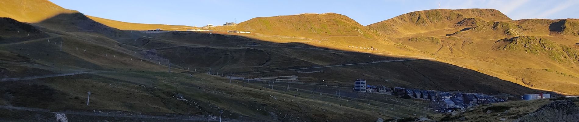
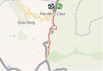
Trail Walking of 12.7 km to be discovered at Occitania, Pyrénées-Orientales, Porta. This trail is proposed by c.chehere.

Description

Se garer juste avant la frontière. Partir sur la gauche le long des immeubles coté France.
Prendre un sentier balisé "ronds jaunes". Suivre ce sentier jusqu'au col des izards. Redescendre (plein sud) sur la porta bianca point de rencontre des frontières de  Espagne, Andorre. Présence d'une borne frontière Espagnole. Ainsi qu'une borne les fédérations de randonnée des trois pays.

Elevation profile

Photos

Positioning

Country:
France
Region :
Occitania
Department/Province :
Pyrénées-Orientales
Municipality :
Porta
Location:
Unknown
Start:(UTM)
396265 ; 4711139 (31T) N.


Close
My subscriptions