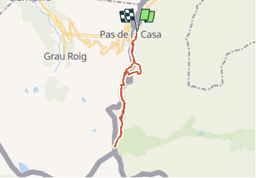

13,5 km | 27 km-effort

Usuario


Aplicación GPS de excursión GRATIS
 SityTrail
IGN / Institutos geográficos
SityTrail World
El mundo es suyo
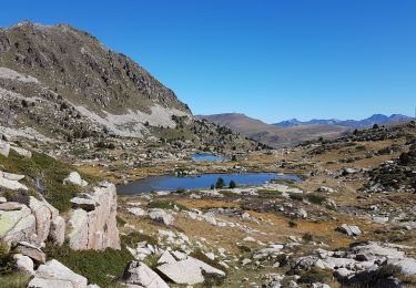
Ruta Senderismo de 12,7 km a descubrir en Occitania, Pirineos Orientales, Porta. Esta ruta ha sido propuesta por c.chehere.
Se garer juste avant la frontière. Partir sur la gauche le long des immeubles coté France.
Prendre un sentier balisé "ronds jaunes". Suivre ce sentier jusqu'au col des izards. Redescendre (plein sud) sur la porta bianca point de rencontre des frontières de Espagne, Andorre. Présence d'une borne frontière Espagnole. Ainsi qu'une borne les fédérations de randonnée des trois pays.


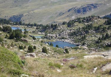
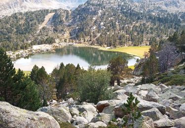
Senderismo
Senderismo
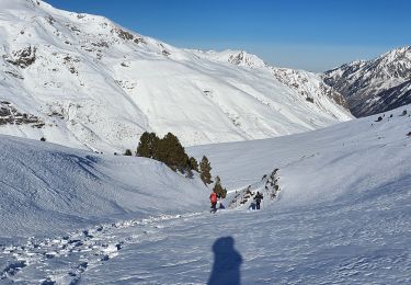
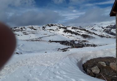
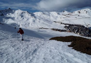
Raquetas de nieve
Raquetas de nieve
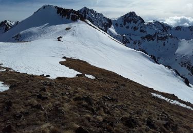
Raquetas de nieve
Senderismo