Trail Walking Saint-Paul-de-Jarrat - De Saint-Paul à Montgailhard - Photo

De Saint-Paul à Montgailhard

 tracegps
tracegps

User

© OpenStreetMap contributors
Length
Length
9.9 km
Max alt
Max alt
516 m
Uphill gradient
Uphill gradient
139 m
Km-Effort
Km-Effort  
11.7 km
Min alt
Min alt
436 m
Downhill gradient
Downhill gradient
139 m
Boucle
Boucle
Yes
Creation date :
2014-12-10 00:00:00.0
Updated on :
2014-12-10 00:00:00.0

(0 Reviews)

Walking
Walking
2h30
Difficulty : Medium

Scan this QR Code to open this trail in the SityTrail application

FREE GPS app for hiking

Logo SityTrail SityTrail

IGN / Geographical institutes

Download SityTrail from the App Store Download SityTrail from Google Play

Logo SityTrail SityTrail World

The world is yours!

Download SityTrail from the App Store Download SityTrail from Google Play Download SityTrail on Huawei AppGallery

About

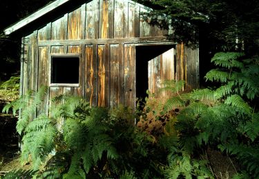
Trail Walking of 9.9 km to be discovered at Occitania, Ariège, Saint-Paul-de-Jarrat. This trail is proposed by tracegps.

Description

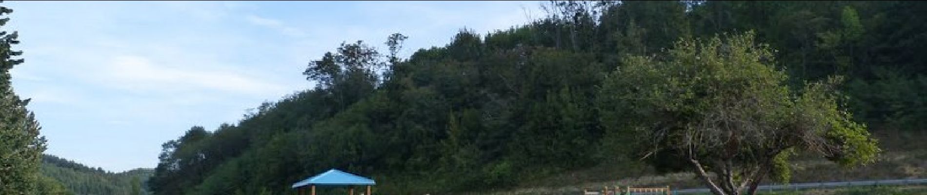
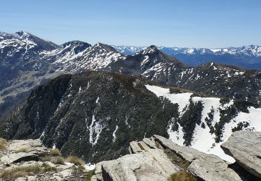
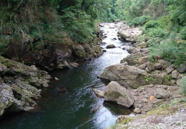
Ce sentier, au départ de la mairie, varié allie un passage ombragé le long du Scios qui permet d'attendre Montgailhard, et la découverte de paysages verdoyant s'ouvrant sur les montagnes environnante et les cimes des Pyrénées. Retrouvez ce circuit sur le site de la commune de St Paul de Jarrat.

Elevation profile

Photos

Positioning

Country:
France
Region :
Occitania
Department/Province :
Ariège
Municipality :
Saint-Paul-de-Jarrat
Location:
Unknown
Start:(Dec)
Start:(UTM)
390543 ; 4752088 (31T) N.

Trails nearby

Trail Walking Saint-Paul-de-Jarrat - Le Mont Fourcat - Croquié - Photo
Walking
tracegps

Walking

Difficult
(2)
Saint-Paul-de-Jarrat, Occitania, Ariège, France
10.5 km | 20 km-effort
4h 15min
Yes
Trail Running Mercus-Garrabet - mercus1 - Photo
Running
gilbertcaujolle

Running

Very easy
(1)
Mercus-Garrabet, Occitania, Ariège, France
20 km | 37 km-effort
5h 6min
Yes
Trail Walking Mercus-Garrabet - Mont Fourcat en A/R - Photo
Walking
chrisgps

Walking

Easy
Mercus-Garrabet, Occitania, Ariège, France
10 km | 21 km-effort
4h 42min
Yes
Trail Walking Prayols - Cuminge  - Photo
Walking
David Girabet

Walking

Easy
(1)
Prayols, Occitania, Ariège, France
3.5 km | 6.1 km-effort
1h 0min
Yes
Trail Walking Montoulieu - MONTOULIEU - GINABAT - Photo
Walking
RonanDAGORN

Walking

Medium
Montoulieu, Occitania, Ariège, France
7.1 km | 10.3 km-effort
1h 53min
Yes
Trail On foot Montoulieu - La cabane des gardes - Photo
On foot
c.chehere

On foot

Medium
Montoulieu, Occitania, Ariège, France
15.5 km | 25 km-effort
Unknown
Yes
Trail Walking Mercus-Garrabet - Mercus-Garabet - Photo
Walking
c.chehere

Walking

Easy
Mercus-Garrabet, Occitania, Ariège, France
15.5 km | 25 km-effort
7h 45min
No
Trail Cycle Foix - A vélo en Basse Ariège - Foix - Photo
Cycle
tracegps

Cycle

Medium
Foix, Occitania, Ariège, France
97 km | 111 km-effort
4h 49min
Yes
Trail Cycle Foix - Port de Lers - Foix - Photo
Cycle
tracegps

Cycle

Difficult
Foix, Occitania, Ariège, France
115 km | 152 km-effort
6h 7min
Yes


Close
My subscriptions