


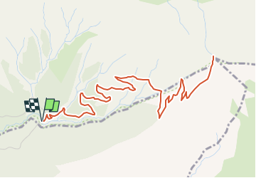

15.4 km | 26 km-effort


User


FREE GPS app for hiking
 SityTrail
IGN / Geographical institutes
SityTrail World
The world is yours!
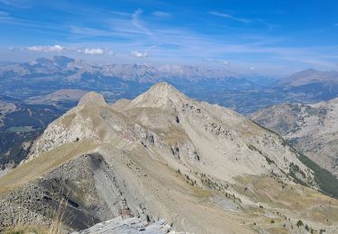
Trail Walking of 8.9 km to be discovered at Provence-Alpes-Côte d'Azur, Hautes-Alpes, Ancelle. This trail is proposed by Marco05.
Départ au dessus de La Batie-Neuve sur la route qui mène au col de Moissières.
Pas de difficulté particulière, sauf les derniers 100 mètres très pentus.


Running

Walking
Walking
Walking
Walking

Walking

Snowshoes

Walking
Walking