


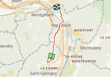

7.7 km | 28 km-effort

User


FREE GPS app for hiking
 SityTrail
IGN / Geographical institutes
SityTrail World
The world is yours!
Trail Walking of 5.7 km to be discovered at Auvergne-Rhône-Alpes, Savoy, Saint-Georges-d'Hurtières. This trail is proposed by jibebouvier.
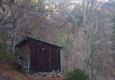
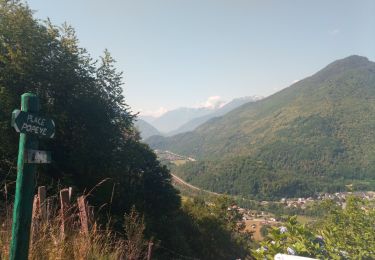
entretien du chemin bofbof... mais ravages cet hiver.
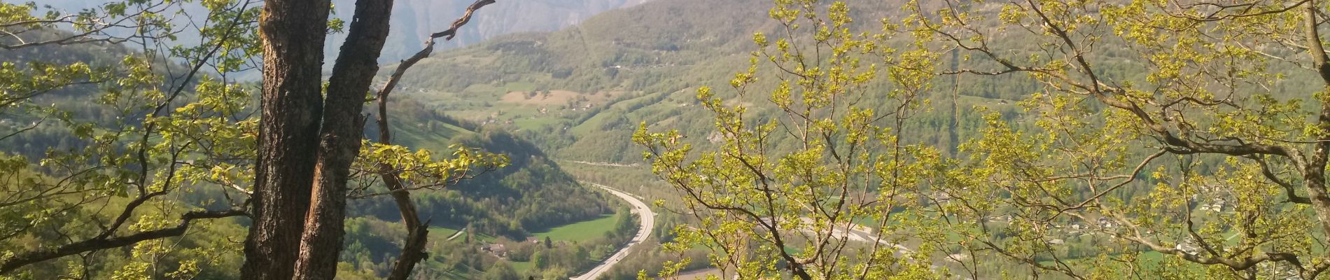
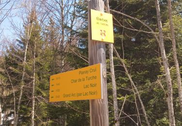
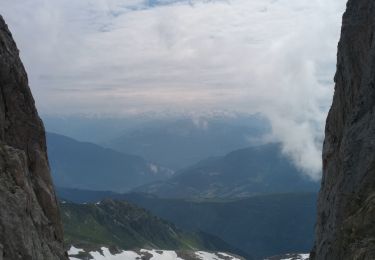
descente tout droit, bug du GPS sous la ligne haute tension, la deuxième photo est après la ligne, sur le chemin du haut en fait... puis descendre sur la gauche puis au panneau montgilbert/Aiguebelle, prendre tout droit en bas /- le long de la ligne de crête, essayer de garder les traces quand il y en a, ça évite 2/3 falaises...


Walking
Walking
Walking
Walking
Walking
Walking
Walking
Walking
Walking