


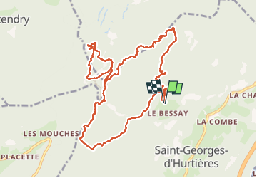

7.7 km | 28 km-effort


User


FREE GPS app for hiking
 SityTrail
IGN / Geographical institutes
SityTrail World
The world is yours!
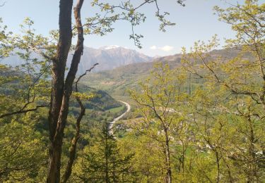
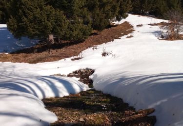
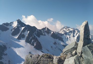
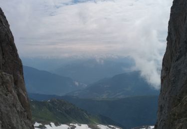
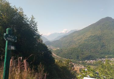
Trail Walking of 13.7 km to be discovered at Auvergne-Rhône-Alpes, Savoy, Saint-Georges-d'Hurtières. This trail is proposed by Bugeat .
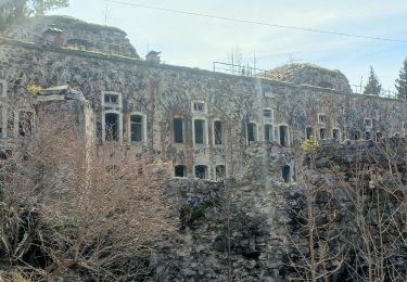
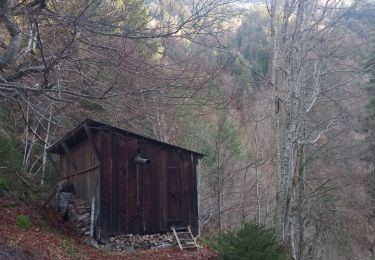
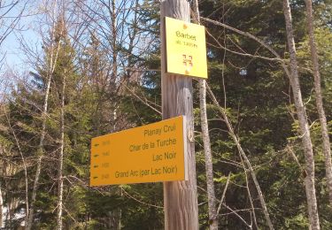
tour des mines et forts

Walking
Walking
Walking
Walking
Walking
Walking
Walking
Walking
Walking