


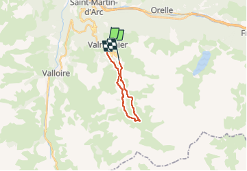

15.5 km | 29 km-effort

User


FREE GPS app for hiking
 SityTrail
IGN / Geographical institutes
SityTrail World
The world is yours!
Trail Walking of 14.2 km to be discovered at Auvergne-Rhône-Alpes, Savoy, Valmeinier. This trail is proposed by Valmeinier.
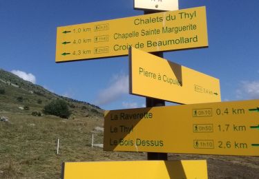
Départ de Valmeinier 1500 m
- montée vers l'Aire de Lierre par la piste
- poursuite en direction des ruines du Pleynet
- On rejoint la passerelle, Mathoset et la Croix de Portette .
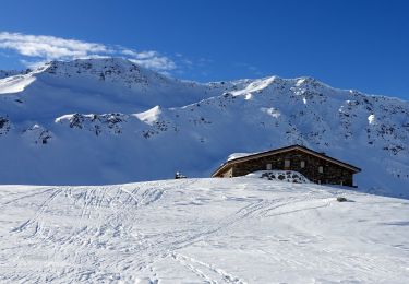
On poursuit en direction du Refuge de Terre Rouge par Pré Sappey
- Retour par ND des Neiges, L'Ersan, Le Planey, le Lion puis l'Ordière et le Parking de la Chenalette
- Retour vers Valmeinier 1800 par la piste puis les Déserts d'en Haut (sous le télésiège des Inversins)


Walking

Walking
Walking
Walking
Snowshoes
Touring skiing

Walking
Walking
Snowshoes