


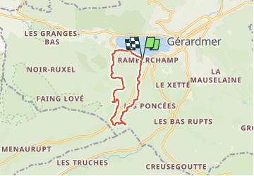


11.1 km | 15.8 km-effort


User


FREE GPS app for hiking
 SityTrail
IGN / Geographical institutes
SityTrail World
The world is yours!
Trail Walking of 9.3 km to be discovered at Grand Est, Vosges, Gérardmer. This trail is proposed by GerardBouche.
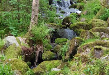
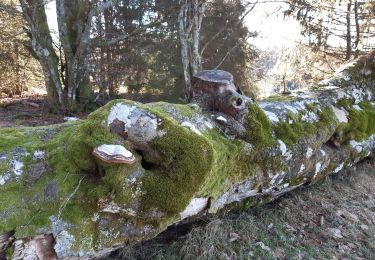
Magnifique parcours par de petits sentiers boisés par la Goutte du Chat, le Saut de la Bourrique et la Grange Mougeon. La descente vers l'ancienne école du Phény et la cascade de Mérelle se fait par un sentier escarpé et rocailleux (bâtons et bonnes chaussures de rando)


Nordic walking

Mountain bike

Walking
Walking

Walking

Walking
Walking
Walking