Trail Walking Merlas - Merlas boucle par le lac de St Sixt et étang des chartreux  - Photo

Merlas boucle par le lac de St Sixt et étang des chartreux

 gmtrando
gmtrando

User

© OpenStreetMap contributors
Length
Length
16.6 km
Max alt
Max alt
917 m
Uphill gradient
Uphill gradient
499 m
Km-Effort
Km-Effort  
23 km
Min alt
Min alt
618 m
Downhill gradient
Downhill gradient
497 m
Boucle
Boucle
Yes
Creation date :
2022-10-02 07:45:23.943
Updated on :
2022-10-02 20:18:45.65

(0 Reviews)

Walking
Walking
4h30
Difficulty : Easy

Scan this QR Code to open this trail in the SityTrail application

FREE GPS app for hiking

Logo SityTrail SityTrail

IGN / Geographical institutes

Download SityTrail from the App Store Download SityTrail from Google Play

Logo SityTrail SityTrail World

The world is yours!

Download SityTrail from the App Store Download SityTrail from Google Play Download SityTrail on Huawei AppGallery

About

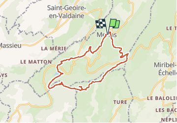
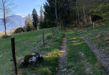
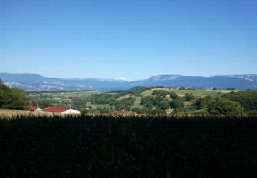
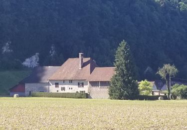
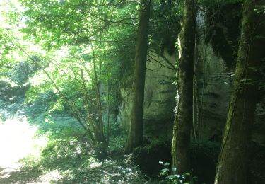
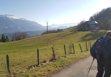
Trail Walking of 16.6 km to be discovered at Auvergne-Rhône-Alpes, Isère, Merlas. This trail is proposed by gmtrando.

Description

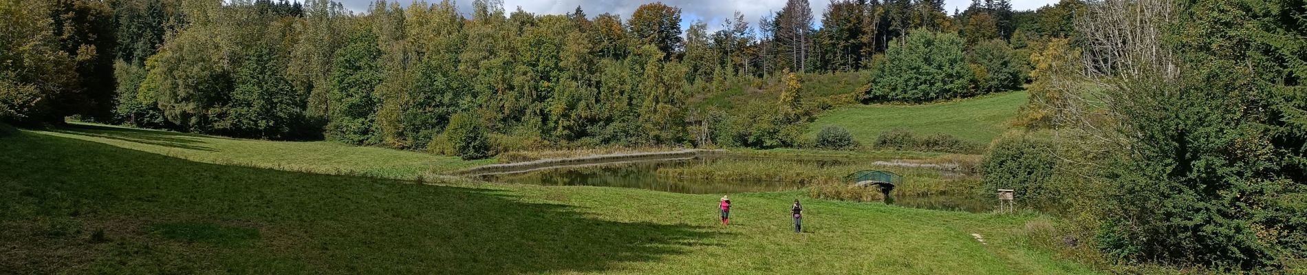
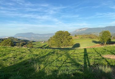
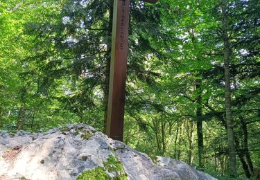
jolie petite randonnée beaucoup en sous bois. Tracé = passage dans des propriétés privées. peut être à rectifier.

Elevation profile

Photos

Positioning

Country:
France
Region :
Auvergne-Rhône-Alpes
Department/Province :
Isère
Municipality :
Merlas
Location:
Unknown
Start:(UTM)
708386 ; 5035836 (31T) N.

Trails nearby

Trail Walking Velanne - Boucle autour de sauge - Photo
Walking
choubaka77

Walking

Very easy
Velanne, Auvergne-Rhône-Alpes, Isère, France
5.7 km | 7.2 km-effort
1h 33min
Yes
Trail Walking Miribel-les-Échelles - mir - Photo
Walking
sanchine

Walking

Difficult
Miribel-les-Échelles, Auvergne-Rhône-Alpes, Isère, France
12.7 km | 18 km-effort
7h 23min
Yes
Trail Walking Miribel-les-Échelles - Circuit panoramique au départ de Miribelle - Photo
Walking
choubaka77

Walking

Easy
(1)
Miribel-les-Échelles, Auvergne-Rhône-Alpes, Isère, France
9.5 km | 13.4 km-effort
2h 57min
Yes
Trail Running Miribel-les-Échelles - Autour de Miribel-les-echelles - Photo
Running
GUIDE
nadd73

Running

Easy
Miribel-les-Échelles, Auvergne-Rhône-Alpes, Isère, France
7.2 km | 11.5 km-effort
57min
Yes
Trail Walking Saint-Sulpice-des-Rivoires - st sulpice mt blanc - Photo
Walking
lmontbazon

Walking

Easy
Saint-Sulpice-des-Rivoires, Auvergne-Rhône-Alpes, Isère, France
9.7 km | 12.6 km-effort
2h 46min
Yes
Trail Hybrid bike Miribel-les-Échelles - Miribel - Les Echelles - St Christophe la Grotte - St Laurent - Miribel - Photo
Hybrid bike
meskiangasher

Hybrid bike

Very easy
Miribel-les-Échelles, Auvergne-Rhône-Alpes, Isère, France
31 km | 38 km-effort
2h 6min
Yes
Trail Walking Miribel-les-Échelles - Av Pascal  - Photo
Walking
kurumi

Walking

Miribel-les-Échelles, Auvergne-Rhône-Alpes, Isère, France
5.3 km | 7.3 km-effort
1h 46min
Yes
Trail Walking Miribel-les-Échelles - Col des mille martyrs - Photo
Walking
crocau

Walking

Very easy
(1)
Miribel-les-Échelles, Auvergne-Rhône-Alpes, Isère, France
5.9 km | 8.2 km-effort
2h 42min
No
Trail Walking Miribel-les-Échelles - pierre a mata - Photo
Walking
JamesVautier

Walking

Very easy
Miribel-les-Échelles, Auvergne-Rhône-Alpes, Isère, France
12.6 km | 17.8 km-effort
4h 58min
Yes


Close
My subscriptions