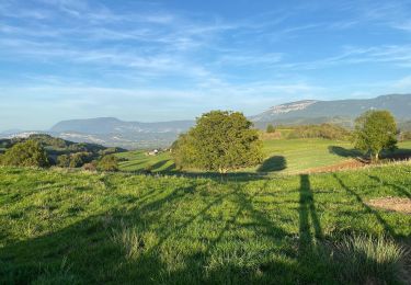
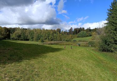
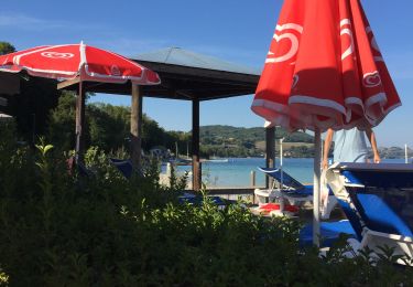
Trail Walking Saint-Sulpice-des-Rivoires - st sulpice mt blanc - Photo
© OpenStreetMap contributors
Length
Length
9.7 km
Max alt
Max alt
714 m
Uphill gradient
Uphill gradient
213 m
Km-Effort
Km-Effort  
12.6 km
Min alt
Min alt
574 m
Downhill gradient
Downhill gradient
214 m
Boucle
Boucle
Yes
Creation date :
2015-08-30 00:00:00.0
Updated on :
2015-08-30 00:00:00.0

(0 Reviews)

Walking
Walking
2h46
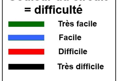
Difficulty : Easy

Scan this QR Code to open this trail in the SityTrail application

FREE GPS app for hiking

Logo SityTrail SityTrail

IGN / Geographical institutes

Download SityTrail from the App Store Download SityTrail from Google Play

Logo SityTrail SityTrail World

The world is yours!

Download SityTrail from the App Store Download SityTrail from Google Play Download SityTrail on Huawei AppGallery

About

Trail Walking of 9.7 km to be discovered at Auvergne-Rhône-Alpes, Isère, Saint-Sulpice-des-Rivoires. This trail is proposed by lmontbazon.

Description

mt blanc

Elevation profile

Photos

Points of interest

Point of interest Saint-Sulpice-des-Rivoires - Point 1 - Photo
lmontbazon
SAINT-SULPICE-DES-RIVOIRES 

Positioning

Country:
France
Region :
Auvergne-Rhône-Alpes
Department/Province :
Isère
Municipality :
Saint-Sulpice-des-Rivoires
Location:
Unknown
Start:(UTM)
703947 ; 5038369 (31T) N.

Trails nearby

Trail Mountain bike Villages du Lac de Paladru - VTT Essai ORBEA  court - Photo
Mountain bike
ALAIN3859

Mountain bike

Difficult
(1)
Villages du Lac de Paladru, Auvergne-Rhône-Alpes, Isère, France
26 km | 36 km-effort
2h 29min
Yes
Trail Mountain bike Villages du Lac de Paladru - Saint  Geoirs valdaine St Sulpice b - Photo
Mountain bike
ALAIN3859

Mountain bike

Difficult
(1)
Villages du Lac de Paladru, Auvergne-Rhône-Alpes, Isère, France
24 km | 34 km-effort
2h 22min
Yes
Trail Walking Velanne - Boucle autour de sauge - Photo
Walking
choubaka77

Walking

Very easy
Velanne, Auvergne-Rhône-Alpes, Isère, France
5.7 km | 7.2 km-effort
1h 33min
Yes
Trail Mountain bike Montferrat - Essai orbea rise husquvarna - Photo
Mountain bike
ALAIN3859

Mountain bike

Difficult
(1)
Montferrat, Auvergne-Rhône-Alpes, Isère, France
41 km | 57 km-effort
3h 26min
Yes
Trail Walking Merlas - Merlas boucle par le lac de St Sixt et étang des chartreux  - Photo
Walking
gmtrando

Walking

Easy
Merlas, Auvergne-Rhône-Alpes, Isère, France
16.6 km | 23 km-effort
4h 30min
Yes
Trail Hybrid bike Bilieu - Tour du lac de Paladru  - Photo
Hybrid bike
choubaka77

Hybrid bike

Very easy
Bilieu, Auvergne-Rhône-Alpes, Isère, France
17.7 km | 21 km-effort
1h 46min
No
Trail Mountain bike Villages du Lac de Paladru - Circuit VTT n° 2 - Les hauts du Lac de Paladru - Photo
Mountain bike
psomelet

Mountain bike

Very easy
Villages du Lac de Paladru, Auvergne-Rhône-Alpes, Isère, France
32 km | 41 km-effort
Unknown
Yes
Trail Walking Bilieu - tour de lac. Paladru  - Photo
Walking
bernadette revoux

Walking

Medium
Bilieu, Auvergne-Rhône-Alpes, Isère, France
22 km | 30 km-effort
4h 55min
No
Trail Walking Bilieu - croix des cochettes-Charavines - Photo
Walking
bernadette revoux

Walking

Medium
Bilieu, Auvergne-Rhône-Alpes, Isère, France
13.5 km | 18.8 km-effort
3h 27min
Yes


Close
My subscriptions