


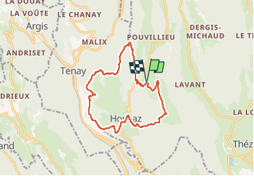

21 km | 31 km-effort

User


FREE GPS app for hiking
 SityTrail
IGN / Geographical institutes
SityTrail World
The world is yours!
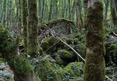
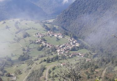
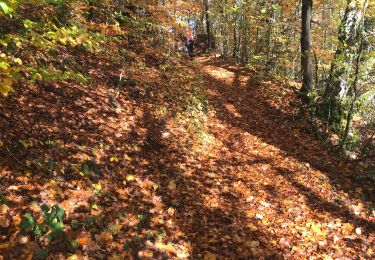
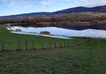
Trail Walking of 15 km to be discovered at Auvergne-Rhône-Alpes, Ain, Plateau d'Hauteville. This trail is proposed by HB01.
Départ de St sulpice

Mountain bike
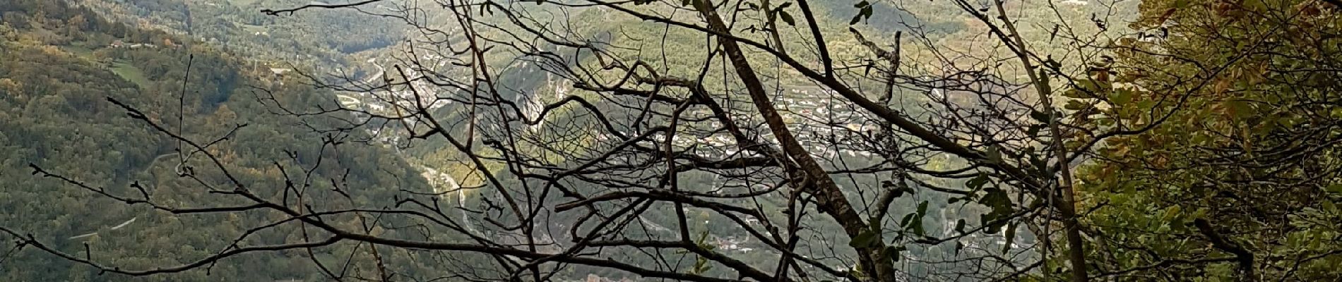
Walking
Walking
Walking
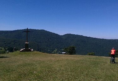
Walking
Walking
Walking

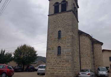
Walking
Walking