


7.6 km | 10.8 km-effort


User


FREE GPS app for hiking
 SityTrail
IGN / Geographical institutes
SityTrail World
The world is yours!
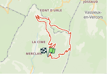
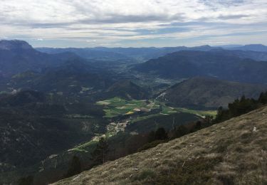
Trail Walking of 19.3 km to be discovered at Auvergne-Rhône-Alpes, Drôme, Saint-Julien-en-Quint. This trail is proposed by ajd26.
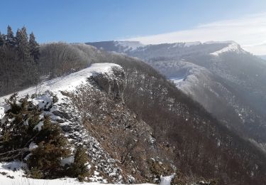
départ des Bonnets (hameau de St Julien en Quint, col de Font Payanne, Puy de la Gagere, Porte d'Urle
attention le retour depuis la porte d'Urle est peu pentu, sans difficulté mais très long (prévoir du temps)
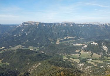
beaux panoramas en montant et sur le plateau


Snowshoes
Walking
Walking
Walking
Walking
Walking

Walking
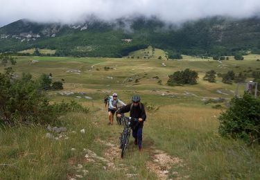
Mountain bike

Walking