


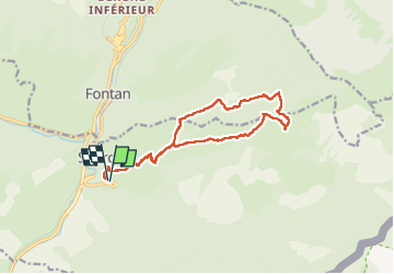

11.1 km | 23 km-effort


User


FREE GPS app for hiking
 SityTrail
IGN / Geographical institutes
SityTrail World
The world is yours!
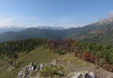
Trail Walking of 15.2 km to be discovered at Provence-Alpes-Côte d'Azur, Maritime Alps, Saorge. This trail is proposed by aris.
Hors sentier entre la baisse d'Anan et la cime (parcours à vue). Hors sentier également en lisière de forêt en début de descente jusqu'à la fontaine des Chiens (borne 204).
On foot

On foot
On foot
On foot
On foot
On foot
Walking
Walking
Walking