Trail Walking Bairols - Pointe des 4 cantons de Bairols retour col de l'espella - Photo

Pointe des 4 cantons de Bairols retour col de l'espella

 GrouGary
GrouGary

User

© OpenStreetMap contributors
Length
Length
14.7 km
Max alt
Max alt
1788 m
Uphill gradient
Uphill gradient
1099 m
Km-Effort
Km-Effort  
29 km
Min alt
Min alt
821 m
Downhill gradient
Downhill gradient
1094 m
Boucle
Boucle
Yes
Creation date :
2023-03-21 07:44:50.987
Updated on :
2023-03-26 10:00:24.875

(0 Reviews)

Walking
Walking
4h43
Difficulty : Difficult

Scan this QR Code to open this trail in the SityTrail application

FREE GPS app for hiking

Logo SityTrail SityTrail

IGN / Geographical institutes

Download SityTrail from the App Store Download SityTrail from Google Play

Logo SityTrail SityTrail World

The world is yours!

Download SityTrail from the App Store Download SityTrail from Google Play Download SityTrail on Huawei AppGallery

About

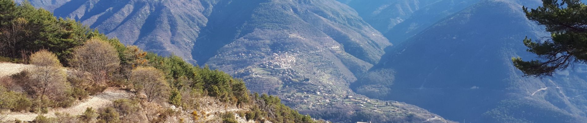
Trail Walking of 14.7 km to be discovered at Provence-Alpes-Côte d'Azur, Maritime Alps, Bairols. This trail is proposed by GrouGary.

Description

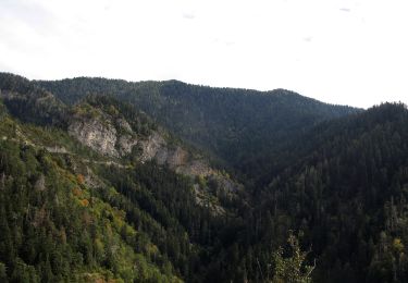
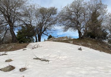
Gros dénivelés (balises 192-191-190 196) pour le trajet de Bairols à la Pointe des 4 cantons, mais sans difficultés techniques. Monter dans le vallon en suivant les cairns sous le rocher de Baume percée.
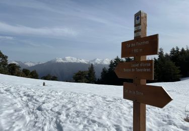
Retour jusqu'à la balise 196 puis remonter sur une centaine de mètre en empruntant un agréable ancien chemin forestier couvert. Au col de l'Espella (balise 197) continuer vers l'Est dans le descente superbe vers Bairols, traversant d'anciennes restanques.
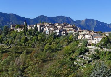
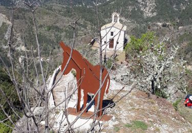
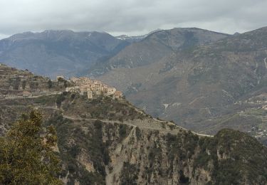
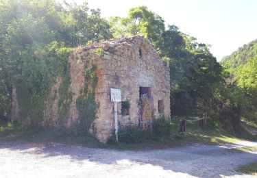
Bairols est un beau village moyenâgeux.
15 km et  1100
3 gites pour dormir au lieu dit "Lac" (b.194)

Elevation profile

Photos

Positioning

Country:
France
Region :
Provence-Alpes-Côte d'Azur
Department/Province :
Maritime Alps
Municipality :
Bairols
Location:
Unknown
Start:(UTM)
349629 ; 4871710 (32T) N.

Trails nearby

Trail On foot La Tour - Circuit de Mangiarde - Photo
On foot
PRO

On foot

Medium
La Tour, Provence-Alpes-Côte d'Azur, Maritime Alps, France
12.7 km | 25 km-effort
5h 36min
Yes
Trail On foot Bairols - Tour du mont Falourde - Photo
On foot
PRO

On foot

Medium
Bairols, Provence-Alpes-Côte d'Azur, Maritime Alps, France
16.5 km | 31 km-effort
6h 58min
Yes
Trail On foot Clans - Chapelle Sainte-Anne - Photo
On foot
PRO

On foot

Medium
Clans, Provence-Alpes-Côte d'Azur, Maritime Alps, France
15.3 km | 24 km-effort
5h 25min
Yes
Trail On foot Massoins - Plateau du Lac - Photo
On foot
PRO

On foot

Medium
Massoins, Provence-Alpes-Côte d'Azur, Maritime Alps, France
10.7 km | 22 km-effort
4h 54min
Yes
Trail Walking Bairols - Pointe des 4 Cantons  - Photo
Walking
bozo1970

Walking

Very difficult
Bairols, Provence-Alpes-Côte d'Azur, Maritime Alps, France
12.2 km | 25 km-effort
5h 45min
Yes
Trail Snowshoes Ilonse - Lauvet d’Ilonse - Photo
Snowshoes
bozo1970

Snowshoes

Difficult
Ilonse, Provence-Alpes-Côte d'Azur, Maritime Alps, France
11.7 km | 21 km-effort
4h 54min
Yes
Trail Walking La Tour - Pic charvet, son Fort, Chapelle St Antoine, Tournefort - Photo
Walking
GrouGary

Walking

Easy
La Tour, Provence-Alpes-Côte d'Azur, Maritime Alps, France
12.8 km | 23 km-effort
5h 10min
Yes
Trail Walking Bairols - Mont Falourde depuis Bairoldmd - Photo
Walking
patsure

Walking

Medium
Bairols, Provence-Alpes-Côte d'Azur, Maritime Alps, France
12.7 km | 22 km-effort
4h 3min
Yes
Trail Walking Thiéry - Pointe de Chavanette  Par chapelle Ste Madeleine/Thiery - Photo
Walking
GrouGary

Walking

Medium
Thiéry, Provence-Alpes-Côte d'Azur, Maritime Alps, France
14.4 km | 26 km-effort
4h 47min
Yes


Close
My subscriptions