


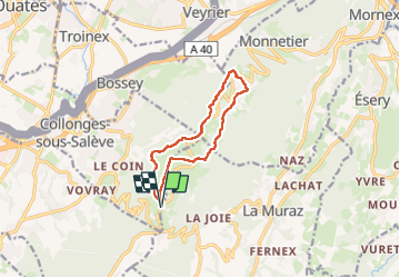

9.6 km | 15.2 km-effort

User


FREE GPS app for hiking
 SityTrail
IGN / Geographical institutes
SityTrail World
The world is yours!
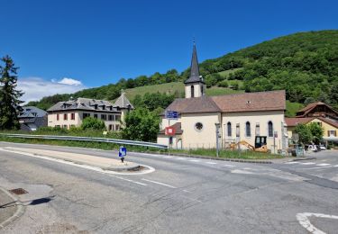
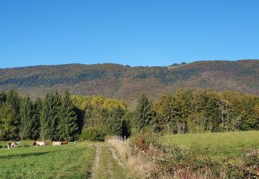
Trail Walking of 10 km to be discovered at Auvergne-Rhône-Alpes, Upper Savoy, Collonges-sous-Salève. This trail is proposed by Jean-Paulchoux.
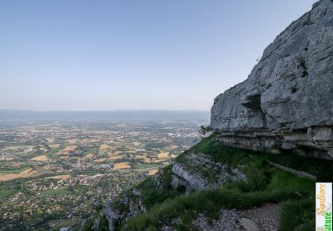
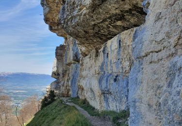
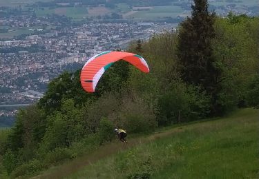
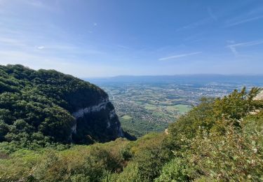
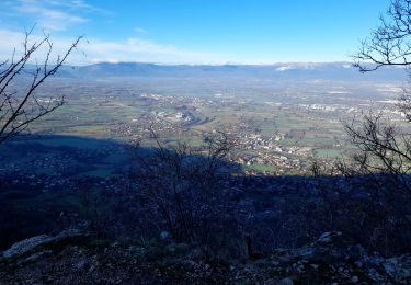
Boucle agréable avec de très beaux panoramas. Possible d'éviter la Corratrie si humide et avec des personnes sujettes au vertige.


Walking
Walking
Walking
Walking
Walking
Walking

Walking
Walking
Walking