


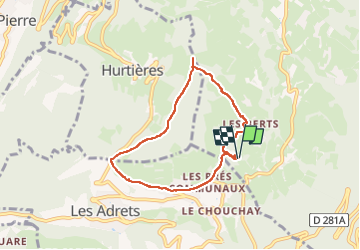

12.4 km | 21 km-effort

User


FREE GPS app for hiking
 SityTrail
IGN / Geographical institutes
SityTrail World
The world is yours!
Trail Walking of 6.8 km to be discovered at Auvergne-Rhône-Alpes, Isère, Theys. This trail is proposed by walrou63.
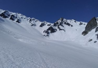
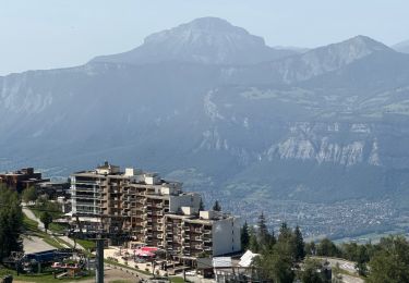
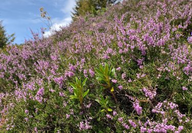
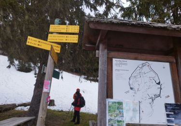
Malgré un temps plus qu'incertain, petite randonnée au depart du camping des 7 Laux pour rejoindre la grange de Belle aux Airs en boucle par Villard-Bernard et retour par les Berts


Walking
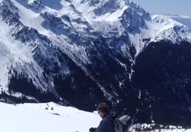
Touring skiing

Mountain bike
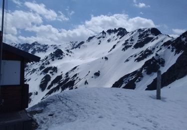
Touring skiing
Touring skiing

sport
Walking
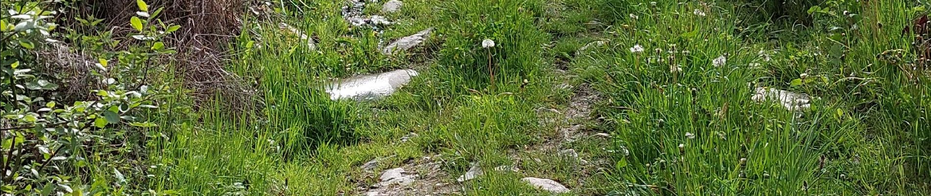
Walking
Walking