


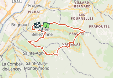

12.4 km | 21 km-effort

User


FREE GPS app for hiking
 SityTrail
IGN / Geographical institutes
SityTrail World
The world is yours!
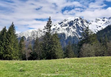
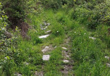
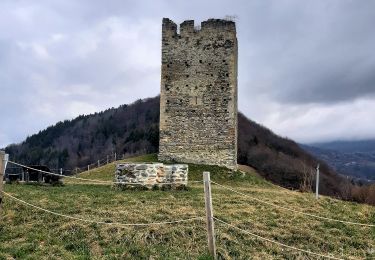
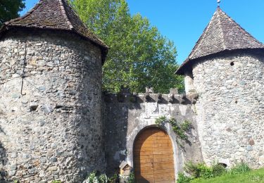
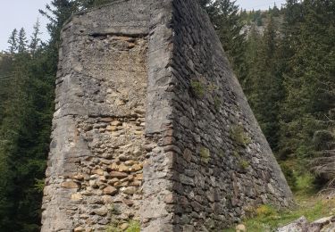
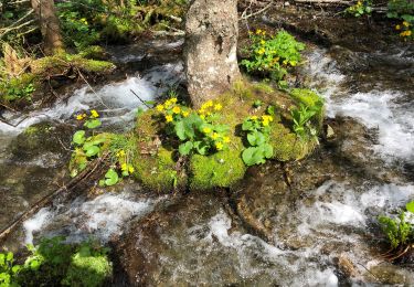
Trail Walking of 17.7 km to be discovered at Auvergne-Rhône-Alpes, Isère, Laval-en-Belledonne. This trail is proposed by flip38.
Boucle intéressante avec passages en crêtes coté Laval et aussi Saint Agnès.
Jolis points de vues (si le ciel n'est pas sableux comme le jour de cette randonnée).


Walking
On foot
On foot
Walking
Walking
Walking
Walking
Walking
Walking