


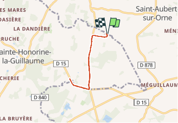

9.7 km | 12.4 km-effort


User


FREE GPS app for hiking
 SityTrail
IGN / Geographical institutes
SityTrail World
The world is yours!
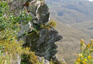
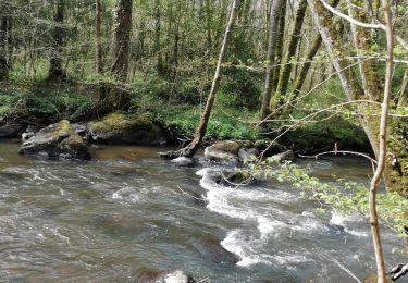
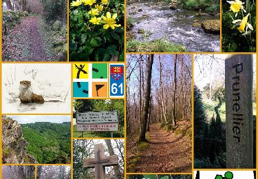
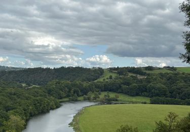
Trail Nordic walking of 5.1 km to be discovered at Normandy, Orne, Putanges-le-Lac. This trail is proposed by MICWAG.

Walking
Walking
Walking
On foot
On foot

Walking
Walking
Walking

sport