


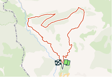

8.6 km | 18.5 km-effort

User


FREE GPS app for hiking
 SityTrail
IGN / Geographical institutes
SityTrail World
The world is yours!
Trail Walking of 11.5 km to be discovered at Provence-Alpes-Côte d'Azur, Hautes-Alpes, Rabou. This trail is proposed by Marco05.
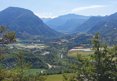
Une belle randonnée au nord de Rabou.
Il faut passer devant l'église et traverser tout le village pour trouver le parking à la fin de la route.
Démarrer vers le nord, et attention car il y a plusieurs chemins.
Le mieux est de suivre mon itinéraire à la lettre.
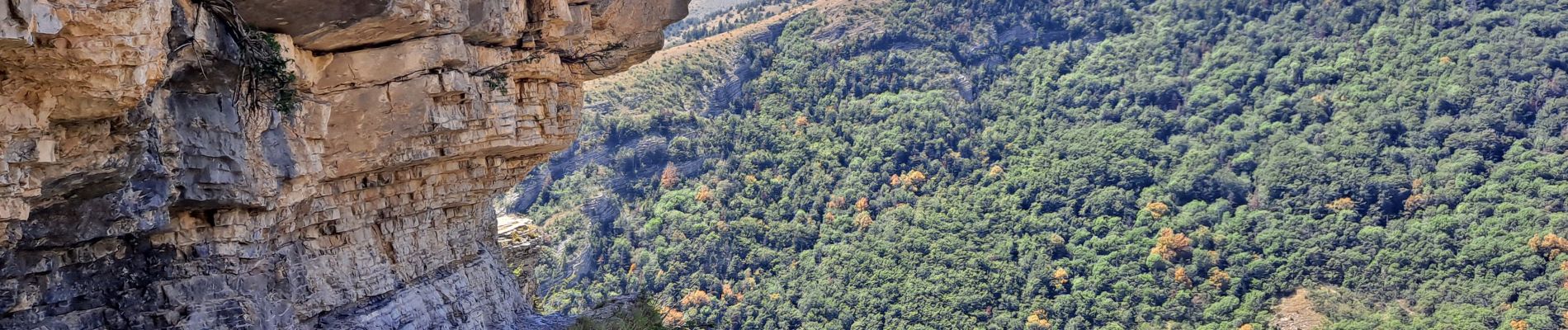
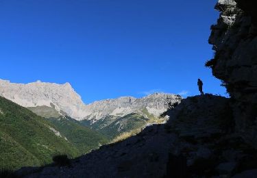
Aucune difficulté, sauf le passage aérien du sentier des bans pour les personnes sujettes au vertige (voir ma dernière photo).


Walking
Walking

Mountain bike
On foot

Mountain bike

Mountain bike
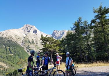
Mountain bike
Walking
Walking