


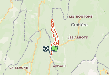

12.7 km | 26 km-effort


User GUIDE


FREE GPS app for hiking
 SityTrail
IGN / Geographical institutes
SityTrail World
The world is yours!
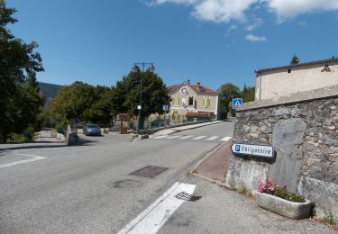
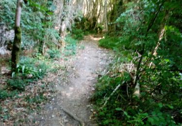
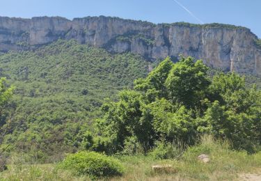
Trail Walking of 9.1 km to be discovered at Auvergne-Rhône-Alpes, Drôme, Plan-de-Baix. This trail is proposed by thonyc.
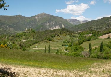
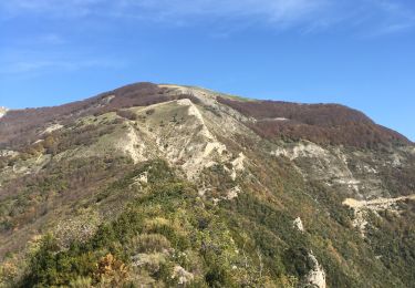
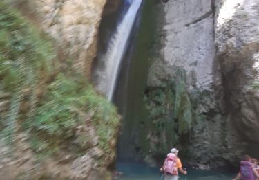
Randonnée atypique dans les gorges d’Omblèze où vous pourrez contempler les parois abruptes du défilé, les eaux limpides de la Gervanne, la cascade de la Pissoire… Laissez-vous charmer par le cadre enchanteur de cette curiosité géologique.

Walking
Walking
Walking
Walking
Walking
Walking
Walking
Walking
Walking