


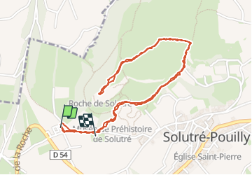

3.7 km | 5.5 km-effort


User


FREE GPS app for hiking
 SityTrail
IGN / Geographical institutes
SityTrail World
The world is yours!
Trail Walking of 3.4 km to be discovered at Bourgogne-Franche-Comté, Saône-et-Loire, Solutré-Pouilly. This trail is proposed by alainjoseph6.
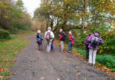
une magnifique balade à faire en famille.
Une vue à 360 degrés extraordinaire.


Walking

Mountain bike

Walking

Walking

Walking
Walking

Walking

Walking

Walking