


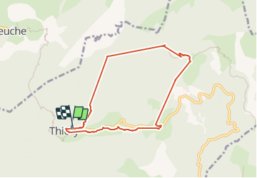

16.6 km | 30 km-effort


User


FREE GPS app for hiking
 SityTrail
IGN / Geographical institutes
SityTrail World
The world is yours!
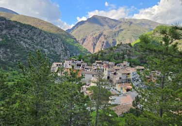
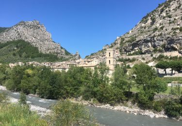
Trail Walking of 7.9 km to be discovered at Provence-Alpes-Côte d'Azur, Maritime Alps, Thiéry. This trail is proposed by Renefrt.
Problème de réception GPS avec ces trois lignes droites. En gros elles suivent le parcours.


Walking
Walking
Walking
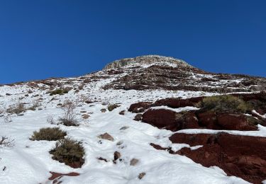
Snowshoes
Walking

Walking

On foot
On foot
Road bike