


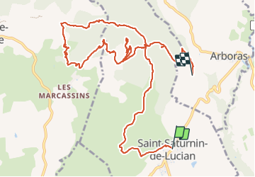

12.1 km | 17.4 km-effort

User


FREE GPS app for hiking
 SityTrail
IGN / Geographical institutes
SityTrail World
The world is yours!
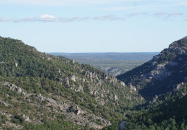
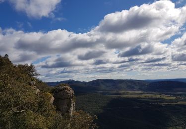
Trail Walking of 14.4 km to be discovered at Occitania, Hérault, Saint-Saturnin-de-Lucian. This trail is proposed by labarone.
Attention après le rocher 3 parties e descente abruptes et caillassées... puis une montée pour passer le col
Le trajet = en fait 17 kms


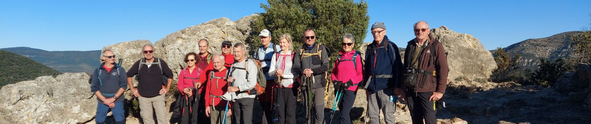
Walking

Walking

Walking

Walking
Walking
Walking
Walking

Walking
Nordic walking