


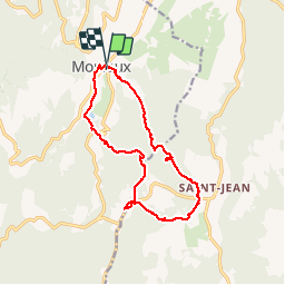


11.9 km | 19.1 km-effort

User


FREE GPS app for hiking
 SityTrail
IGN / Geographical institutes
SityTrail World
The world is yours!
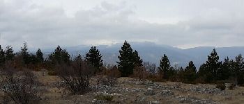
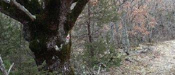
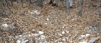
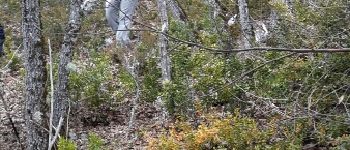
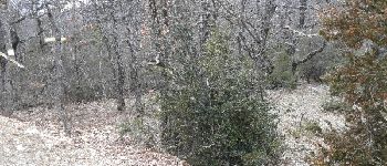
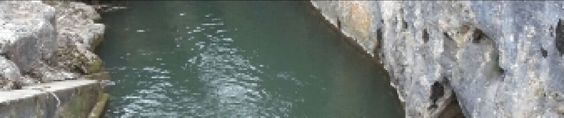
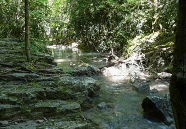
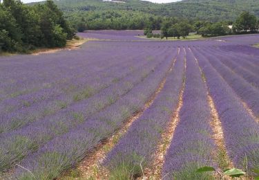
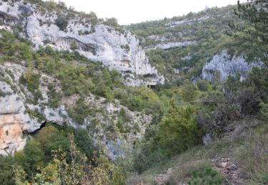
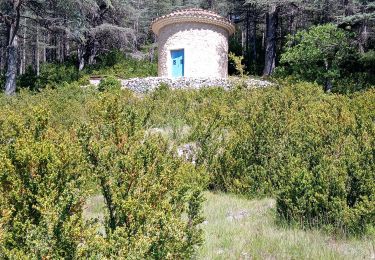
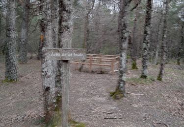
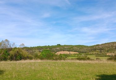
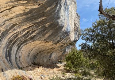
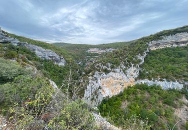
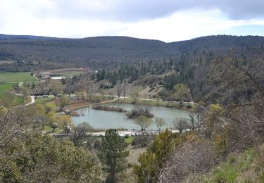
Trail Walking of 15.5 km to be discovered at Provence-Alpes-Côte d'Azur, Vaucluse, Monieux. This trail is proposed by jo-ba.
boucle


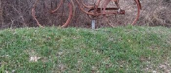
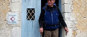
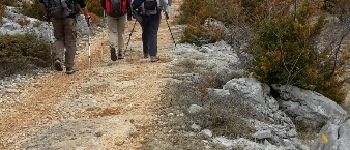
27 photos in total. Please click on a photo to see them all in the gallery.
Walking
Walking
Walking
Walking
Walking
Walking
Walking
Walking
On foot